Resource Library
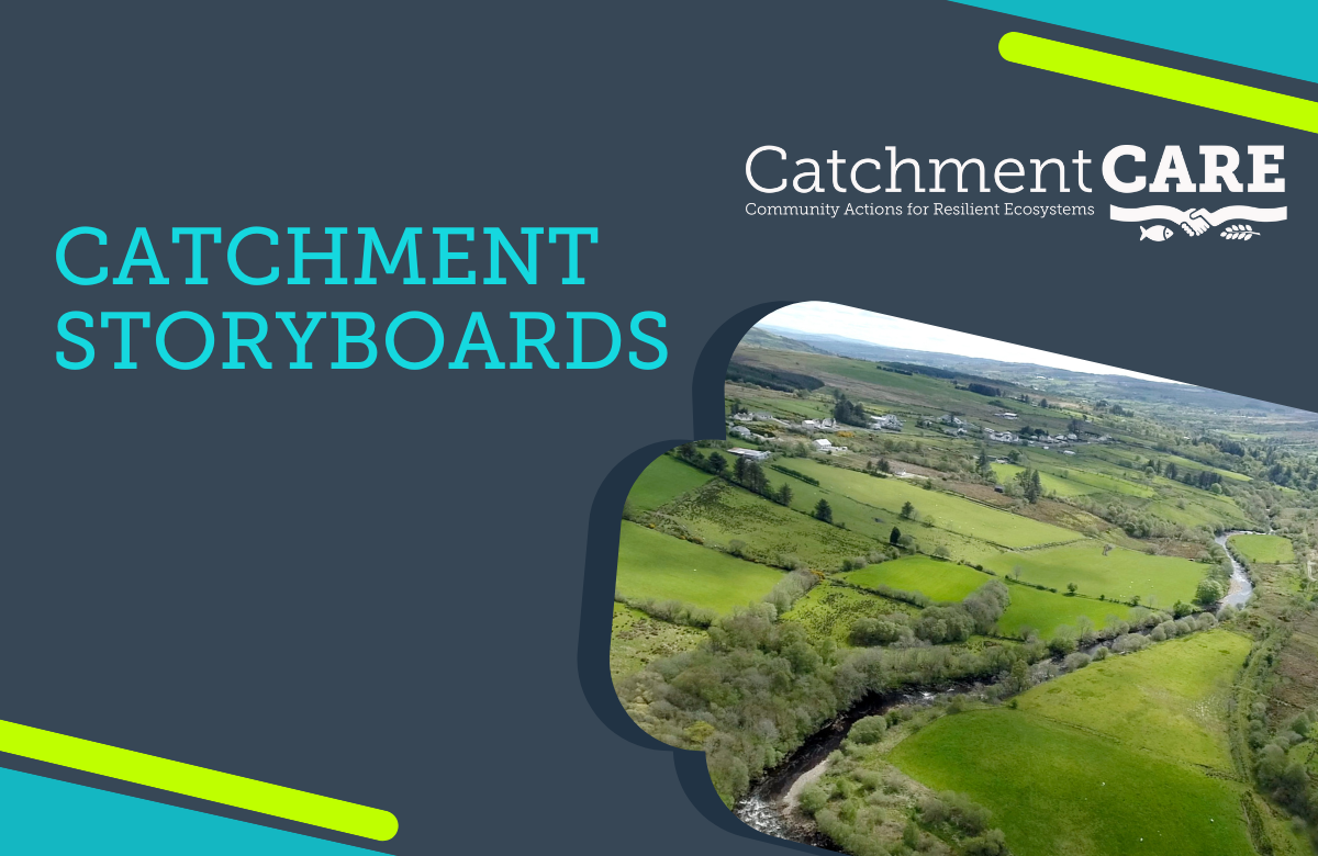
Storyboards
The CatchmentCARE Project employed ArcGIS StoryMaps to help describe various elements of the project delivery. This is a web-based storytelling tool, which incorporates geographic and supporting content to present the works undertaken by the Project into individual ‘Story Boards’ for easy viewing by the reader.


