Catchment Care

  • Home
  • Closing Conference
  • Educators
  • Farming
  • Water
    • Water Professionals – Rivers and Lakes
    • Water Professionals – Groundwater
  • Resources
  • Contact
  • Home
  • news
  • CatchmentCARE Map Gallery launched
13th December 2025

CatchmentCARE Map Gallery launched

CatchmentCARE Map Gallery launched

by catchmentcare / Tuesday, 28 July 2020 / Published in news

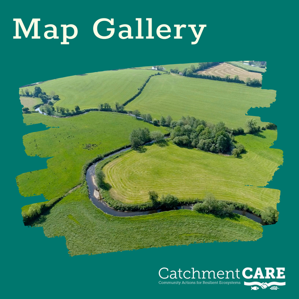
The CatchmentCARE website contains a new feature – The CatchmentCARE Map Gallery. The Map Gallery presents a collection of maps, story maps and apps for the CatchmentCARE Project and allows users to access lake, groundwater and river water quality data for the cross border catchments of the Arney, Blackwater and Finn. The Gallery also contains Catchment Characterisation story maps which paint a detailed picture of each catchment from bed rock geology to landuse to significant environmental pressures.

The aim of the CatchmentCARE Map Gallery is to provide geographical information on, and to spatially represent, the activities of the CatchmentCARE project in an accessible, user-friendly format.

Map Gallery

  • Tweet

About catchmentcare

What you can read next

New Nutrient Management Video launched
Video – Catchment CARE Week Webinar 1c
Local Communities benefit from CatchmentCARE Training Programmes

Contact Details

CatchmentCARE Project
Donegal County Council (Lead Partner), County House, Lifford, Co Donegal F93 Y622

(074) 91 53900


info@catchmentcare.eu

Follow Us

Design By Eweb. Gardiner Mitchell Photography Images.

TOP