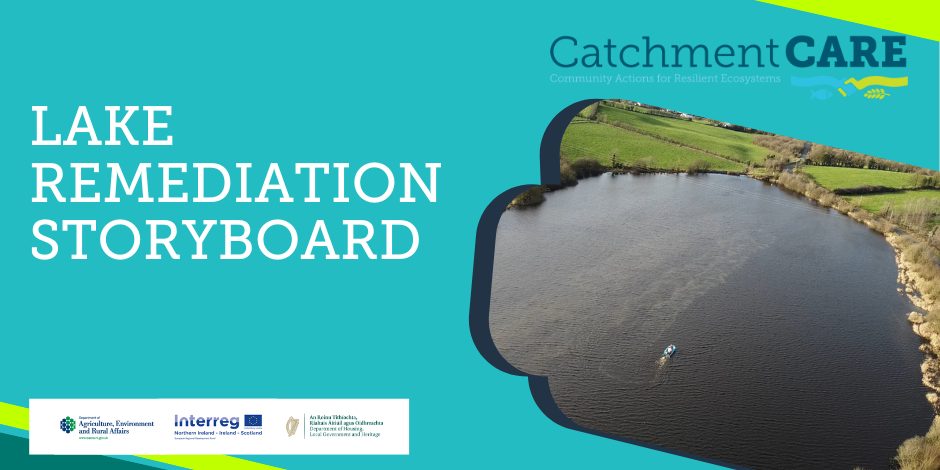
Catchment Storyboards
The CatchmentCARE Project has adopted ArcGIS StoryMaps to help describe various elements of the project delivery. This is a web-based storytelling tool, which incorporates geographic and supporting content to present the works undertaken by the Project into individual ‘Story Boards’ for easy viewing by the reader.
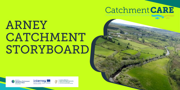
Arney Catchment
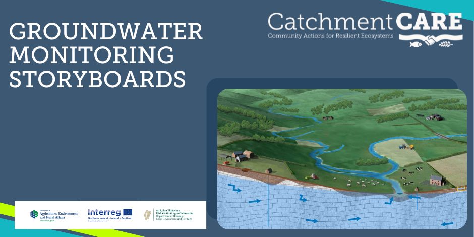
Groundwater Monitoring
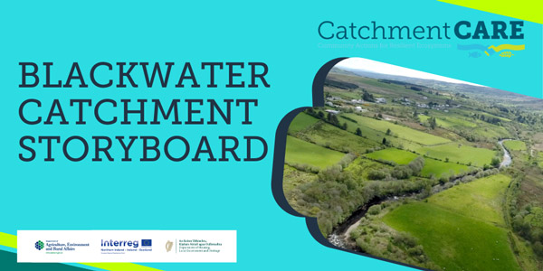
Blackwater Catchment
Water Protection with Willows

Link to Follow

